Translated automatically by AI from the Italian original.
An intense weather system moving from the Iberian Peninsula towards Italy will bring heavy rainfall with a risk of flooding, particularly in the northern, central and Tyrrhenian regions.
The state of critical instability, with a high hydrogeological risk, will remain active for several hours, from late morning well into the early hours of the night.
Westerly winds will at times be violent, exceeding 70–80 km/h. Violent winds are expected over Sardinia.
Although the tropical storm rainfall will ease from early afternoon, it will still affect southern areas.
Sicily will experience moderate bad weather between late afternoon and early evening as the tail end of the system passes through, which will dissipate during the night.
The areas most affected by heavy rainfall (cloudbursts) will be the Tyrrhenian, Ionian and central parts of Sicily.
Surface winds will also be strong across Sicily during the critical phase.
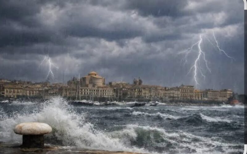
Sea conditions will worsen, with high waves increasing the risk of severe storms for the Aeolian Islands, the Tyrrhenian coast and the upper Ionian coast.
From late night, the bad weather will quickly begin to improve, leading to variable and mild conditions tomorrow.
Currently, forecast maps show repeated weather systems entering the Mediterranean, primarily affecting the northern and central areas of the Italian peninsula.